Loading forest data…
Forest Data
Drone-based forest mapping data, traditional field-based reference data, and guidance for new data collection.
Loading…Loading…Loading…
Drone-based data
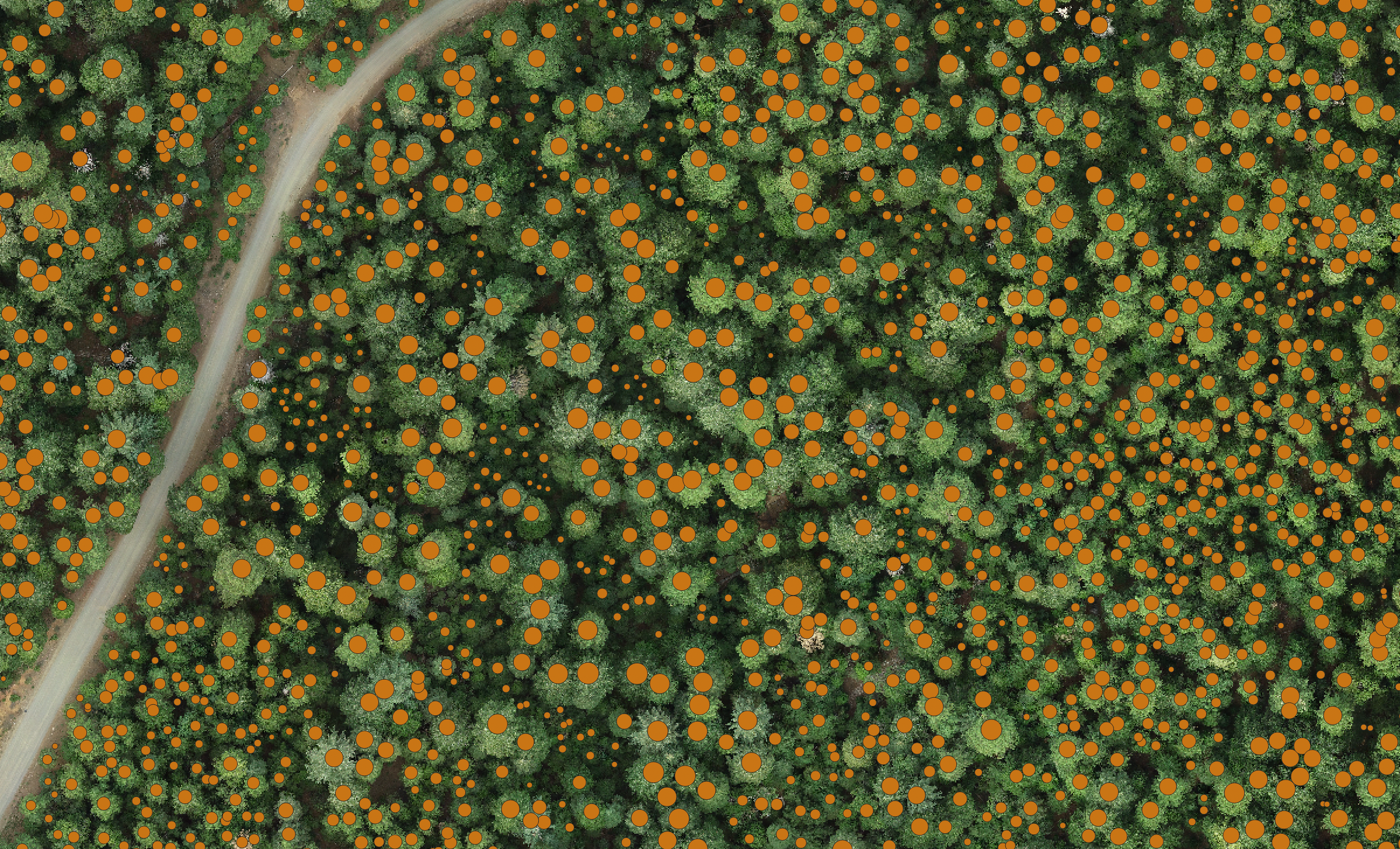
Browse the imported drone mission records with real collection metadata, footprint boundaries and spatial links to ground plots in our html map or through our SpatioTemporal Asset Catalog (STAC).
The data can also be accessed programmatically with python. Learn how here.
Ground reference data
Explore the imported ground inventory plots and their tree records, including measured heights, species and stem locations. Download actual records or ask AI to query them. Access the catalog.
Data collection protocols
We have detailed protocols for collecting the drone and field data. Check out our methods and get guidance for collecting (and, we hope, contributing!) your own drone and field-based forest data.